Lidar systems
One architecture, three altitudes.
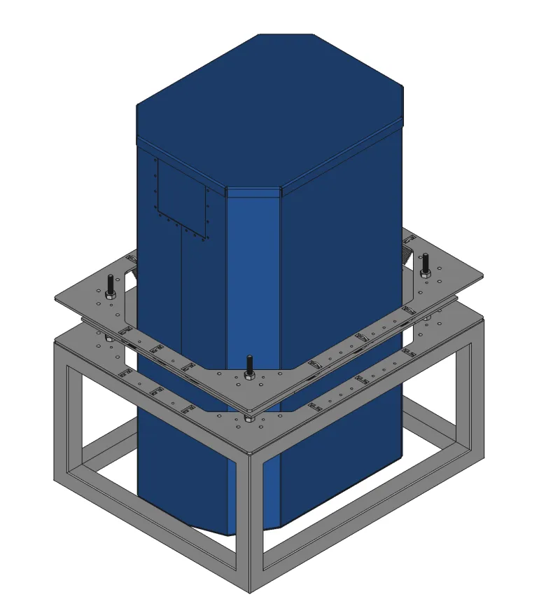
Zion
3,000–12,000 ftCompact vertical system for unpressurized cabins. 9–12M points/sec.
Vertical precision5 cm
Detector pixels4,000
Weight213 lbs
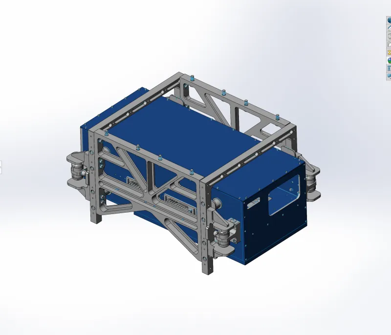
Wrangell
5,000–16,000 ftPod-mounted horizontal system for operational flexibility. 16–20M points/sec.
Vertical precision5 cm
Detector pixels8,000
Weight295 lbs
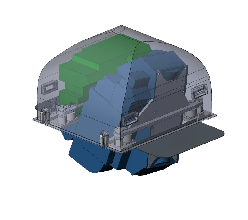
Sequoia
20,000–50,000 ftLong-standoff, pressurized-cabin system. 20–30M points/sec, 900 km²/hr.
Vertical precision5 cm
Detector pixels8,000
Weight266 lbs
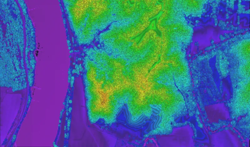
Software & systems
Acadia turns raw photons into answers.
3DEO's processing suite converts raw lidar into finished, high-density point clouds with derived metadata — reflectivity, height above ground, and point confidence. Scalable across laptop, cluster, and cloud. Exports to LAS & GeoTIFF.
Explore Acadia →