Technology / Scanning
Capture every scene from every angle.
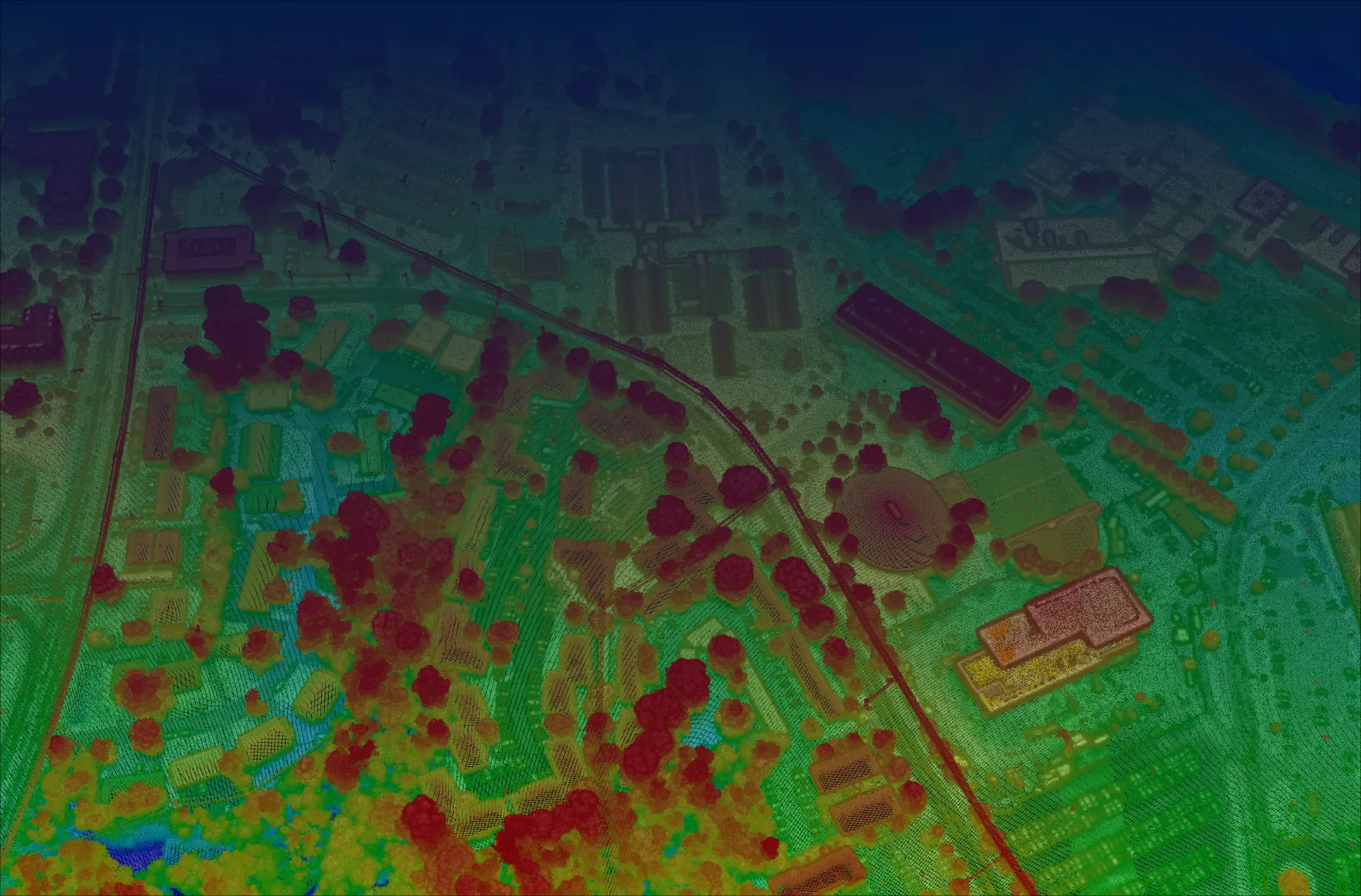
Agile geo-referenced scanning collects each location from 4–6 viewpoints in a single pass. The combined scans fill in the shadows that defeat single-look systems.
Agile geo-referenced scanning collects each location from 4–6 viewpoints in a single pass. The combined scans fill in the shadows that defeat single-look systems.
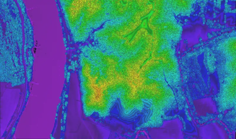
A single look from directly overhead leaves gaps: the far side of buildings, the ground beneath overhanging branches, the floor of a narrow street. Those shadows are exactly where critical detail often lives.
3DEO’s scanning system steers the beam to view each point on the ground from multiple directions as the aircraft passes. The overlapping perspectives reconstruct surfaces that a single nadir look would miss — without flying the area multiple times.
4–6 distinct look angles per pass, merged into one coherent point cloud.
Every return is tied to precise position and orientation for survey-grade accuracy.
Fills voids under forest canopy and inside urban canyons that defeat single-look lidar.
Engineered scanning modes follow right-of-way corridors and capture bypass substations, so the aircraft doesn’t have to weave. From 20,000 ft, the system can image anywhere within a multi-kilometer-wide strip.
Whatever phase you’re in — consulting, equipment, collection, processing, or answers — there’s a right next move.