Software Suite
From raw photons to finished answers.
Acadia is 3DEO’s end-to-end software suite for processing raw Geiger-mode lidar into finished, high-density 3D point clouds — with the metadata your workflow needs.
Acadia is 3DEO’s end-to-end software suite for processing raw Geiger-mode lidar into finished, high-density 3D point clouds — with the metadata your workflow needs.
Millions of single-photon returns per second — real signal mixed with significant noise.
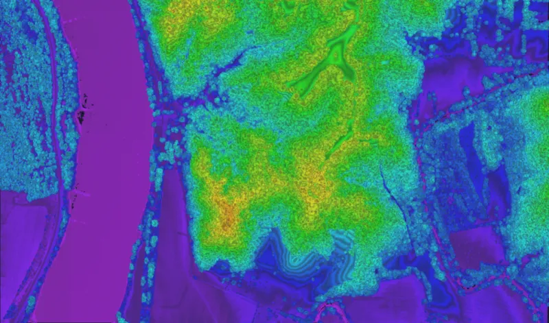
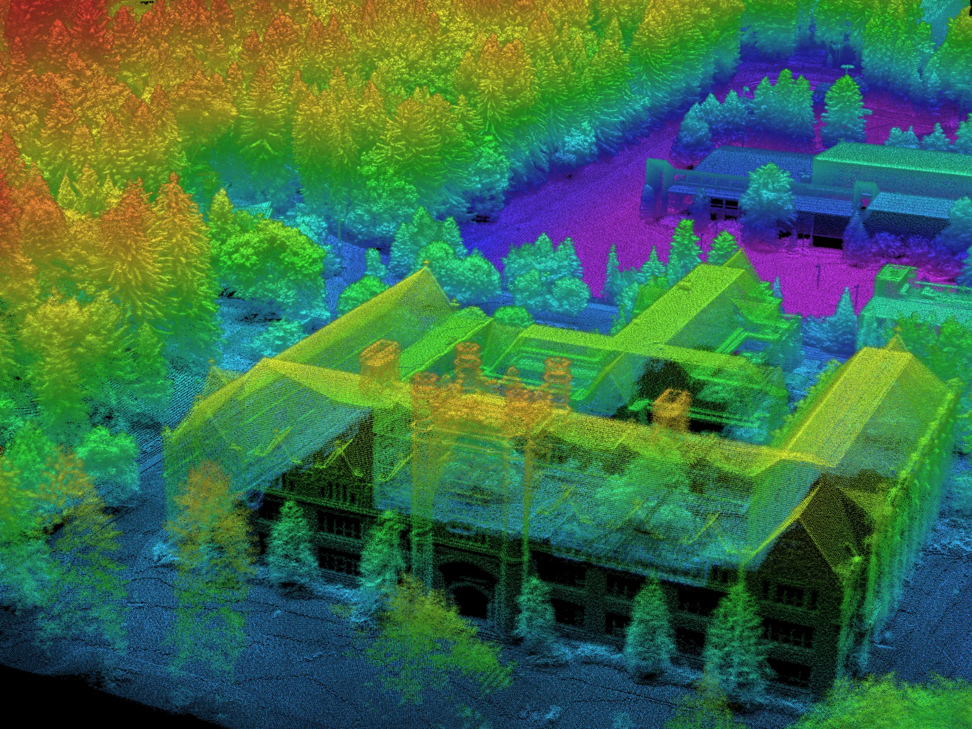
Detections are aggregated and denoised into a dense point cloud with minimal shadowing.
Points labeled with relative reflectivity, height above ground, and confidence.
Deploy across laptop, on-prem cluster, or cloud for elastic capacity. Licensed per sensor.
View data as LAS and GeoTIFF — compatible with QT Modeller, Global Mapper, and CloudCompare.
Easily incorporate customized processing modules into standard 3DEO workflows.
Whatever phase you’re in — consulting, equipment, collection, processing, or answers — there’s a right next move.