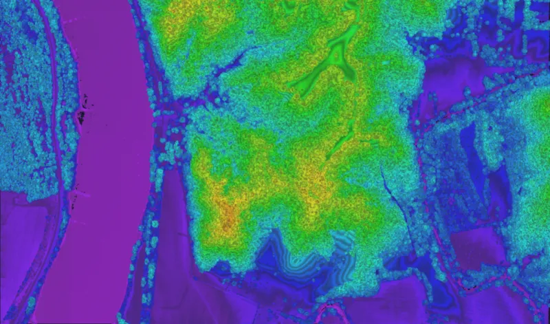
Lidar systems
Three systems, three altitudes.
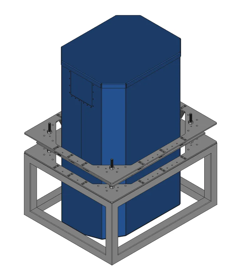
Zion
3,000–12,000 ftA compact vertical system for unpressurized cabins — the most accessible way into Geiger-mode collection.
Points / sec9–12M
Vertical precision5 cm
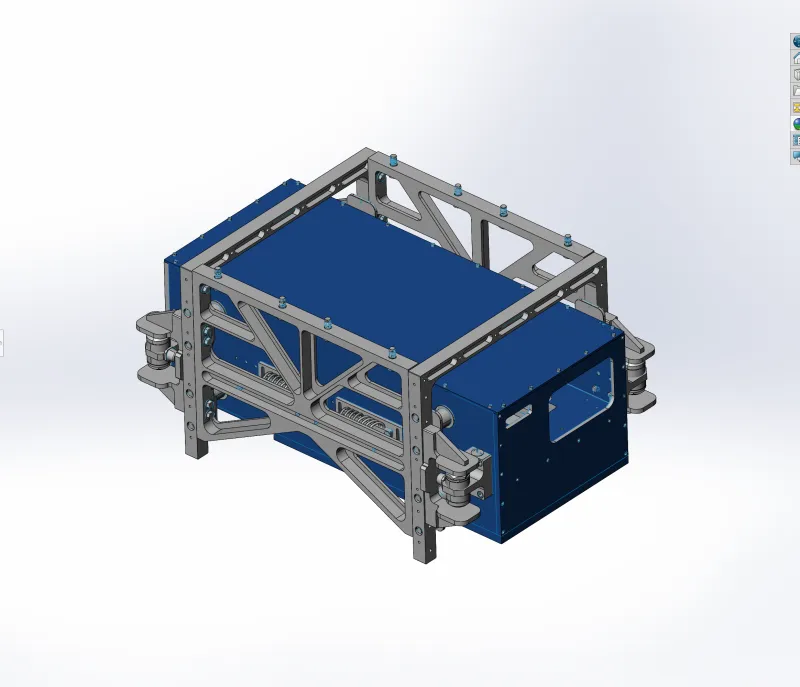
Wrangell
5,000–16,000 ftA pod-mounted horizontal system that adds operational flexibility and higher throughput.
Points / sec16–20M
Vertical precision5 cm
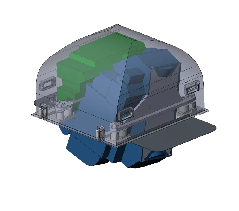
Sequoia
20,000–50,000 ftThe flagship long-standoff system: map from the flight levels at 900 km² per hour.
Points / sec20–30M
Vertical precision5 cm