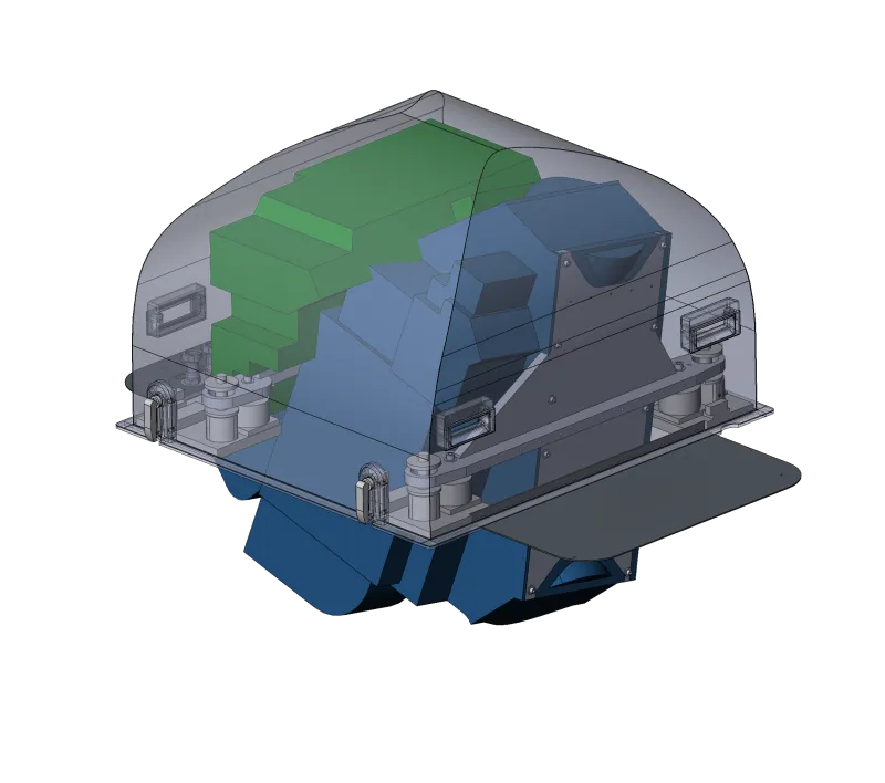
Lidar System · High altitude · long standoff
Sequoia
The flagship long-standoff system: map from the flight levels at 900 km² per hour.
The flagship long-standoff system: map from the flight levels at 900 km² per hour.
Every 3DEO system shares the same Geiger-mode architecture and agile scanning — they differ in altitude band, throughput, and how they mount to the aircraft.
Color by elevation: 122–262 m, captured at 28,000 ft with an area collection rate of 900 km² / hr.
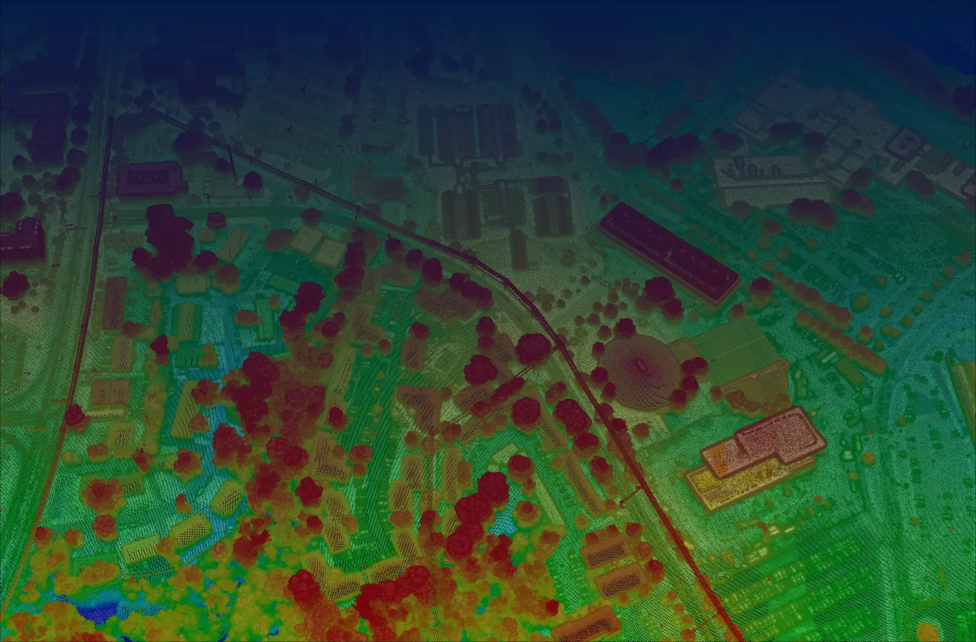
Every Sequoia collection is processed in Acadia, 3DEO’s software suite — turning raw single-photon returns into finished, validated point clouds with reflectivity, height-above-ground, and confidence metadata.
Whatever phase you’re in — consulting, equipment, collection, processing, or answers — there’s a right next move.