Industry · ISR · standoff
Defense
Intelligence, surveillance, and reconnaissance from standoff altitudes — trusted by DARPA and the US Army.

Intelligence, surveillance, and reconnaissance from standoff altitudes — trusted by DARPA and the US Army.
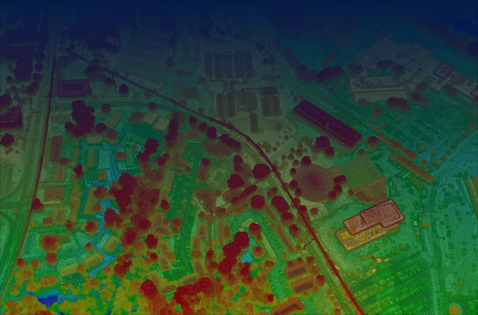
Defense missions demand wide-area 3D awareness collected quickly and from a safe standoff, often over difficult terrain and vegetation.
High-resolution, foliage-penetrating 3D data acquired fast, from high altitude, with rapid turnaround.
Operate from 30,000+ ft to image wide areas from a safe, efficient standoff.
Multi-angle single-photon capture recovers ground detail beneath cover.
Millions of measurements per second mean wide areas mapped in a single sortie.
Long-standoff, wide-area collection at up to 900 km² per hour from the flight levels.
Book a call to scope your project, or request representative point clouds for review.