Industry · Wide-area awareness
Intelligence
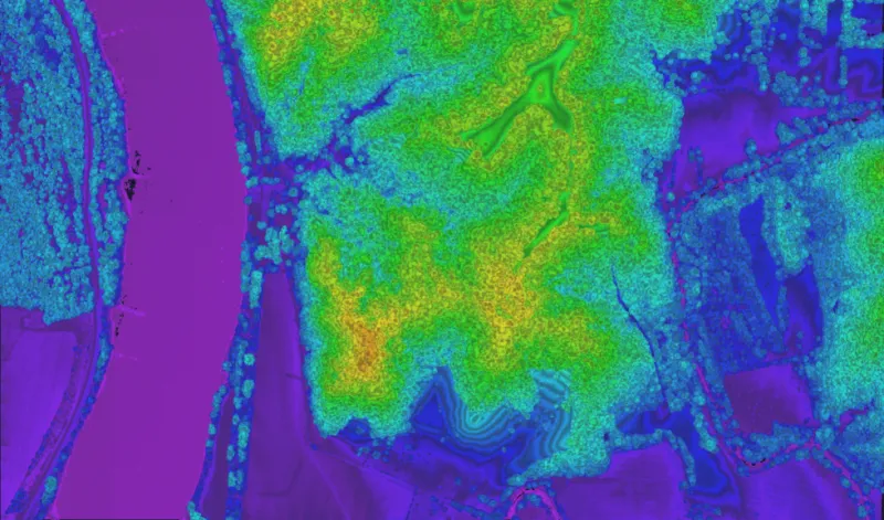
Wide-area situational awareness and change detection at national scale.

Wide-area situational awareness and change detection at national scale.
Analysts need timely, accurate 3D coverage of large regions — and the ability to detect what changed between collections.
Consistent, high-density 3D baselines that can be recollected and differenced to surface change.
Map entire regions at high density to establish a precise 3D baseline.
Recollect and difference to reveal new construction, movement, and disturbance.
High collection rates keep intelligence current.
Long-standoff, wide-area collection at up to 900 km² per hour from the flight levels.
Book a call to scope your project, or request representative point clouds for review.